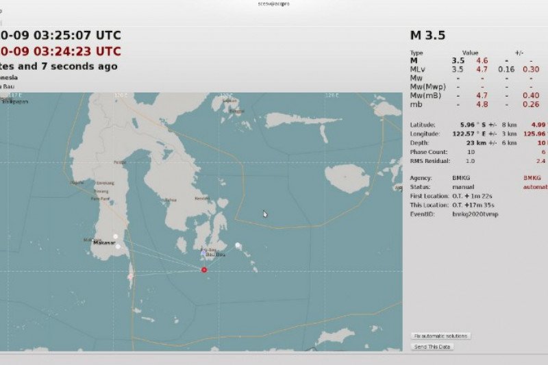
The quake, which struck at 9:57 WIB (West Indonesia Standard Time), was centered 44 kilometers southwest of South Buton, at a depth of 10 kilometers, Chief of the BMKG Earthquake and Tsunami Center Rahmat Triono noted in a statement released on Friday.
Gauging from its epicenter and hypocenter depth, the shallow quake was caused by the activity of the Buton fault. Based on the result of source analysis, the tremor broke along a thrust fault, a type of reverse fault, with a dip of 45 degrees or less, he explained.
The quake was felt by people in South Butoin at Modified Mercalli Intensity (MMI) scale III and in Buton at MMI scale II.
The tremor of MMI III could be felt indoors akin to the movement of a truck, while a quake of MMI III was felt by some people and resulted in the hung light articles shaking, he revealed.
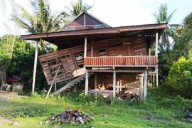
Triono confirmed that the agency had yet to receive a report of material damage caused by the quake. The result of modeling showed the quake did not have the potential to trigger a tsunami.
A quake of magnitude 5.4 can cause substantial damage to land.
"By 10:30 WIB, the result of monitoring conducted by the BMKG showed no sign of aftershock," he remarked.
Triono appealed to the people to stay calm and not be easily influenced by rumors or fake news
Indonesia is located on the geographically active “Pacific Ring of Fire” and holds some 40 percent of the world's geothermal reserves.
The Ring of Fire, or the Circum-Pacific belt, is the world’s greatest earthquake belt, according to Live Science, owing to fault lines running from Chile to Japan and Southeast Asia.
Close
EDITED BY INE


